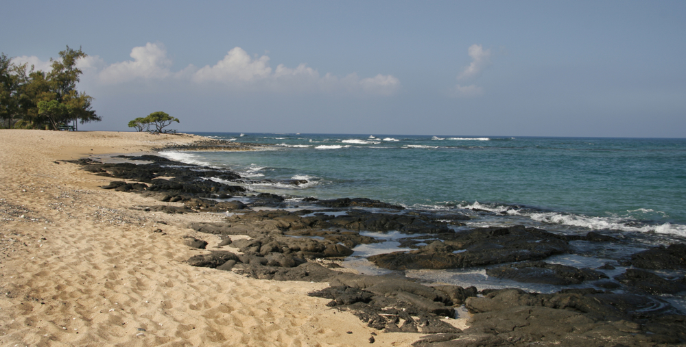
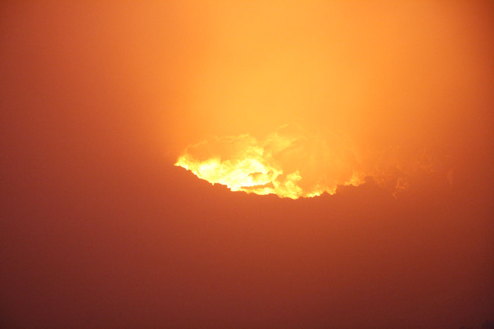
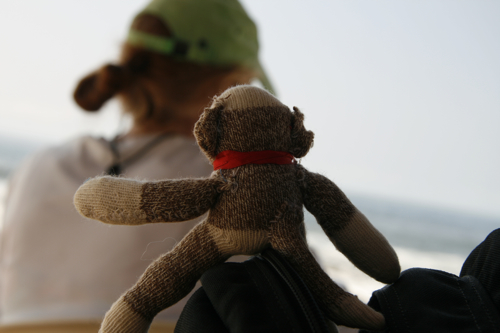
Imagine a day at the beach. Now then … no peeps, no work, no noise … just the sun, beverages, a good book, the kite, sunglasses, music and the water proof camera. Splash on.
Imagine a day at the beach. Now then … no peeps, no work, no noise … just the sun, beverages, a good book, the kite, sunglasses, music and the water proof camera. Splash on.


Recently I was asked, “where are the people? I thought Hawai’i was crowded with tourists.”
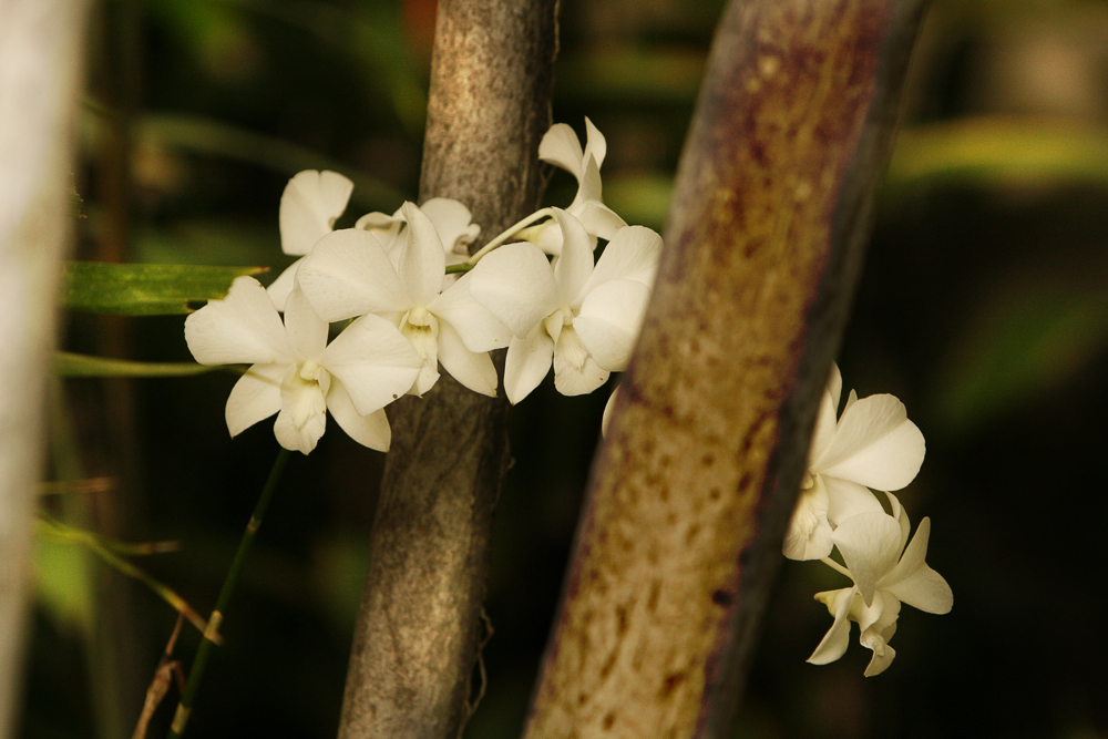
I typically respond with, “you find what you seek. If you travel to Hawai’i to find people, you will find them.” My thought pattern continues with … if you travel to find natural surroundings, raw shoreline, beautiful blue water, lava rock, flowers of every kind, sweet sounding birds, and tasty fish … that’s what you’ll find.
My travels to Hawai’i aren’t about the beach. Sure, I go to the beach (more so at sunset), but I’m much more interested in hiking, walking and exploring. Certainly there are times where I need to move around and actively crop people out of my frame. But that’s an exception. Cropping people from the frame (or their noise from the HD-mic) is much harder orchestrate at sunset than at any other time of the day.
Early morning is the easiest because most visitors aren’t interested in getting out of bed at 5Am. Shooting midday is fraught with lighting issues – unless you’re under heavy brush or indoors. Either way, finding yourself far away from the masses is a choice.
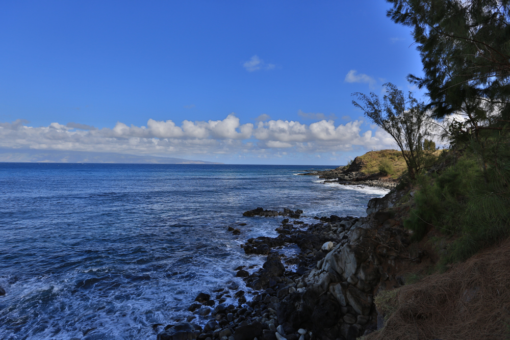
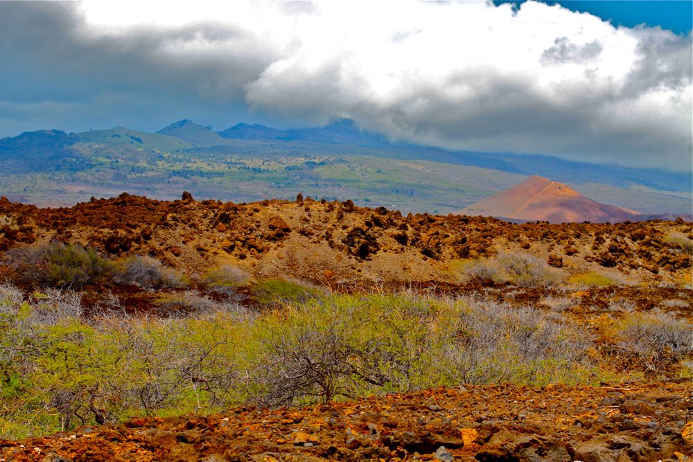
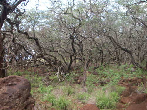
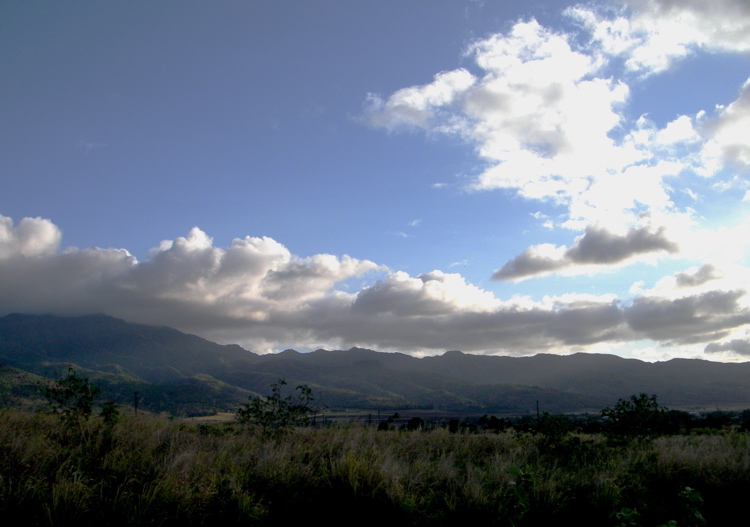
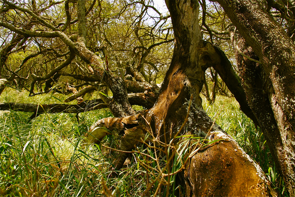
If you land in Honolulu (Hono-rue-rue), you find six lanes of traffic on BOTH sides of the highway. If you drive downtown you will find a sea of white flesh (yes, mostly Caucasian) and a roar of happiness stemming from a collective notion — “we’re on Waikiki Beach!” Look around and you smell the fatty flesh of tourists. Or, you can choose another route and find a dried red dirt path strewn with Acacia trees … leading far away from masses. Ninety-eight percent of my travels include the later variety.
According to management, we will continue seeking the quiet red dirt path until further notice.
Aloha.


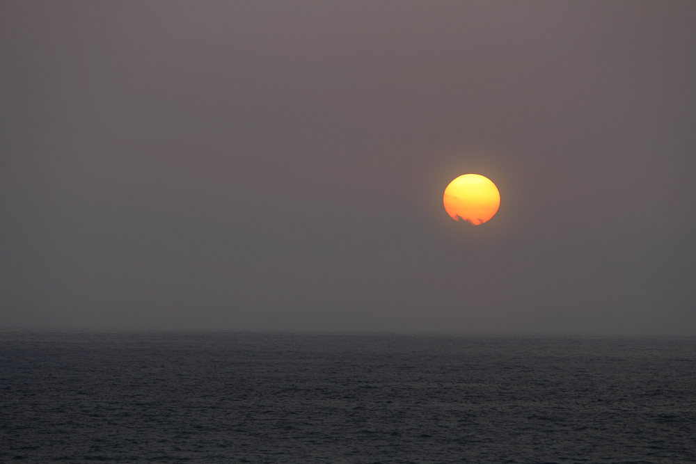
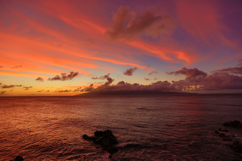
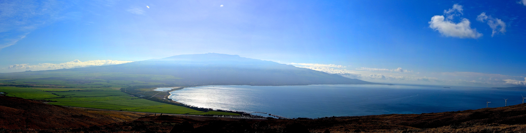
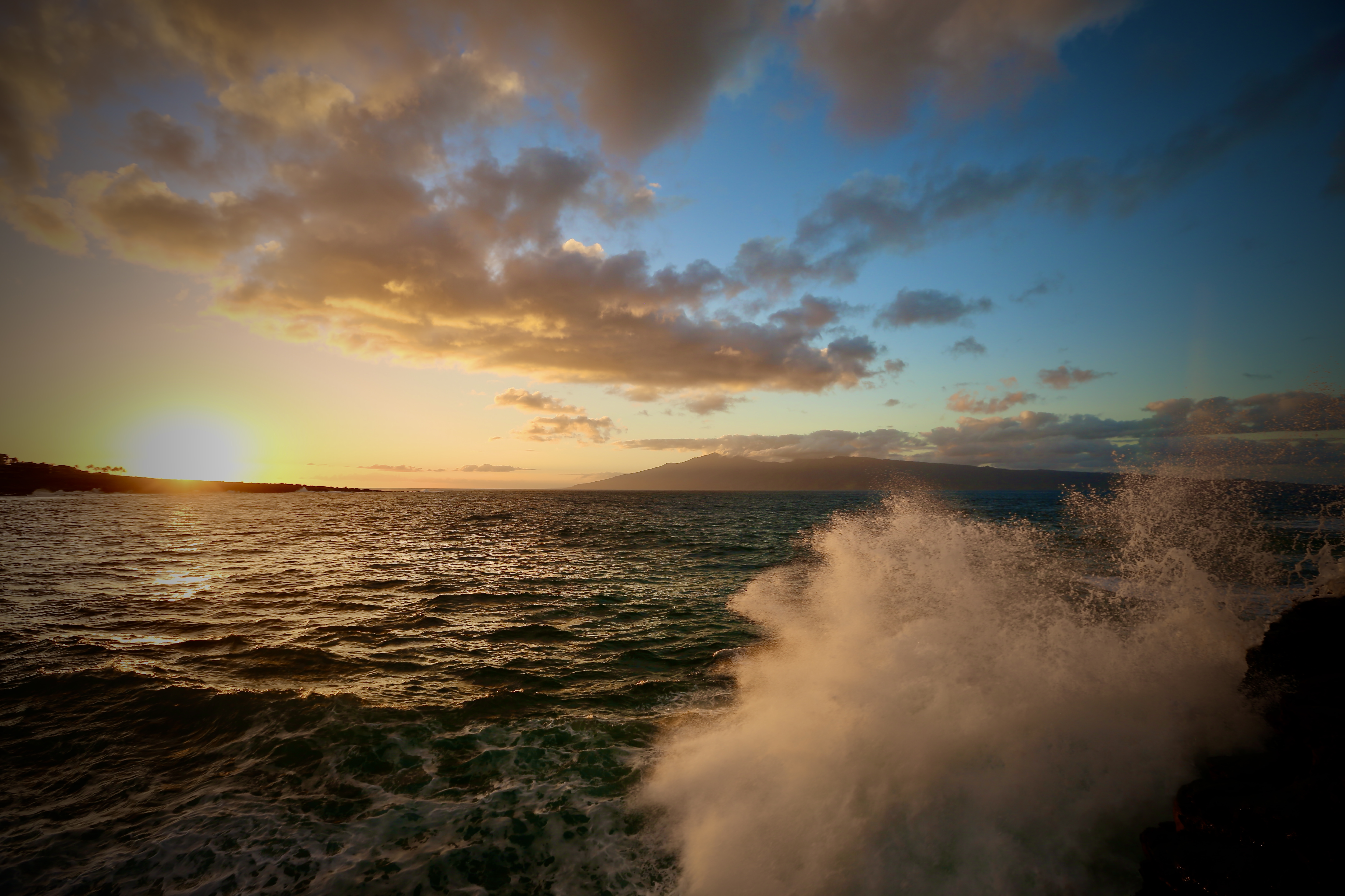
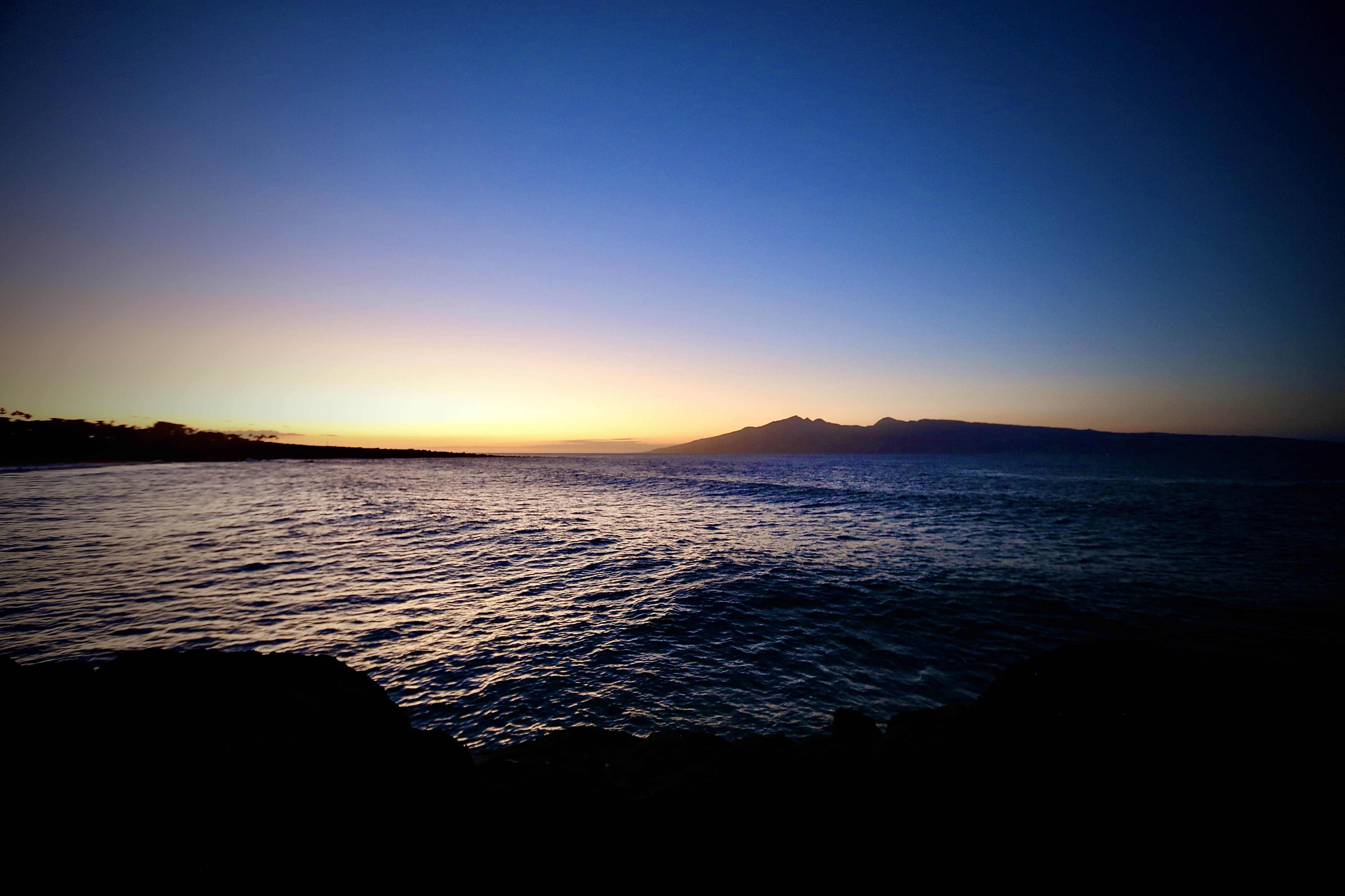
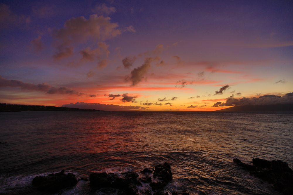
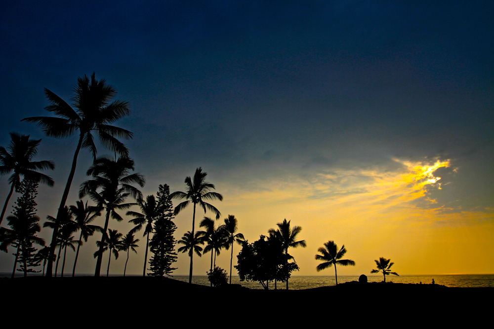
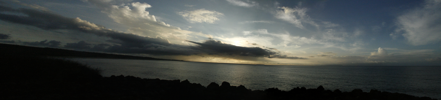
Moloka’i. Looking from Maui. Sunset. Alohahhhh.


Henry David Thoreau


 Since its inception, this site has evolved and grown. Over the past posts, I’ve saturated this footprint with kama’ãina motion. As a “PhotoMotoBlog,” the site jumped around like a cricket … never landing on one spot for very long. As such, the site needed a new life or a way of life – and so Noho ‘ana was born. Noho ‘ana is a kama’ãina view of the 808. You don’t have to live local to be local. Surf808.

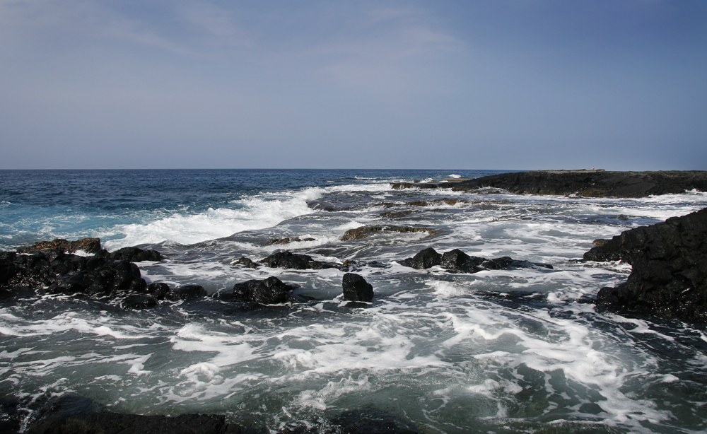
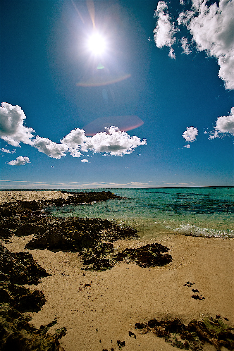
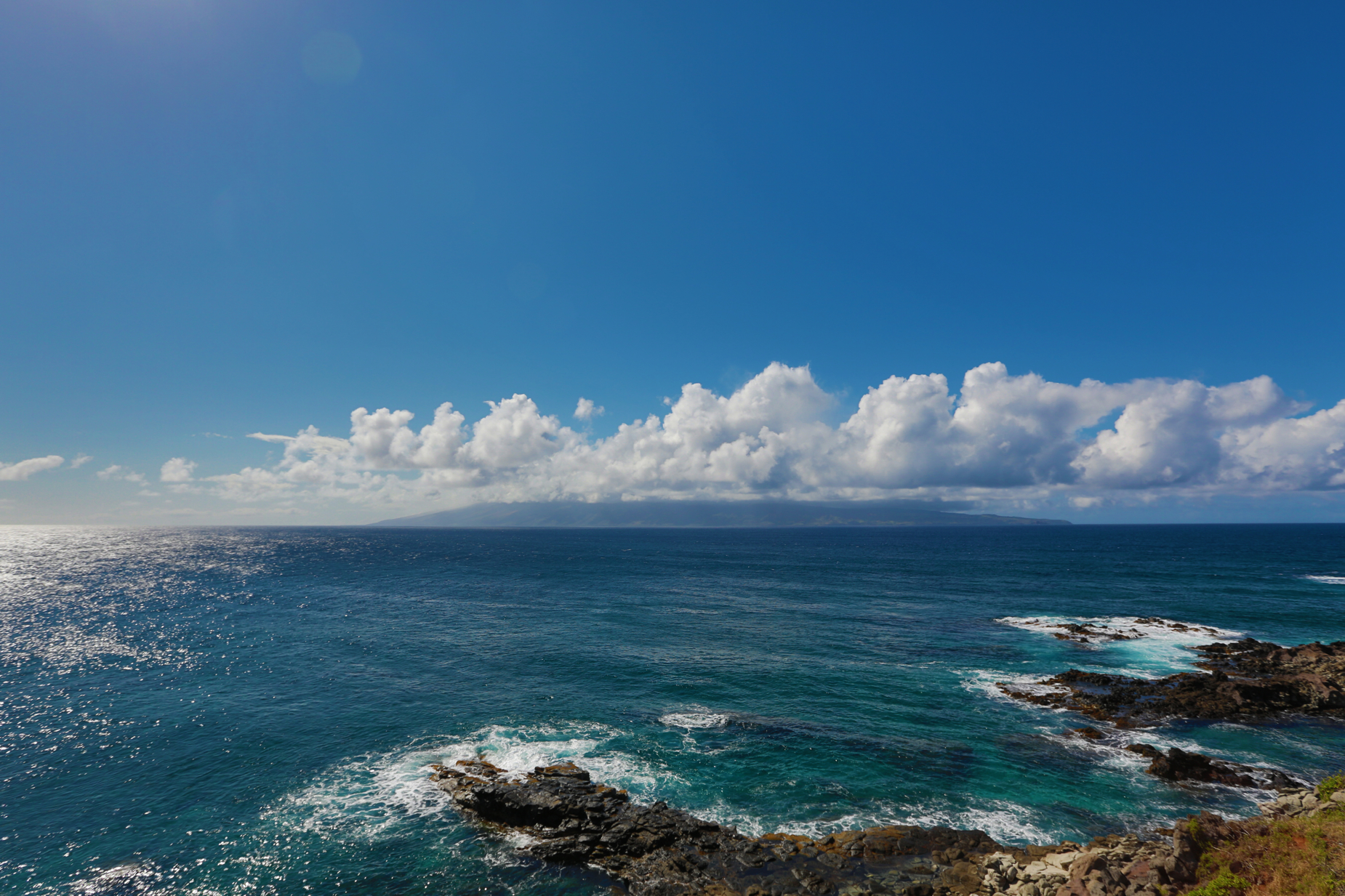
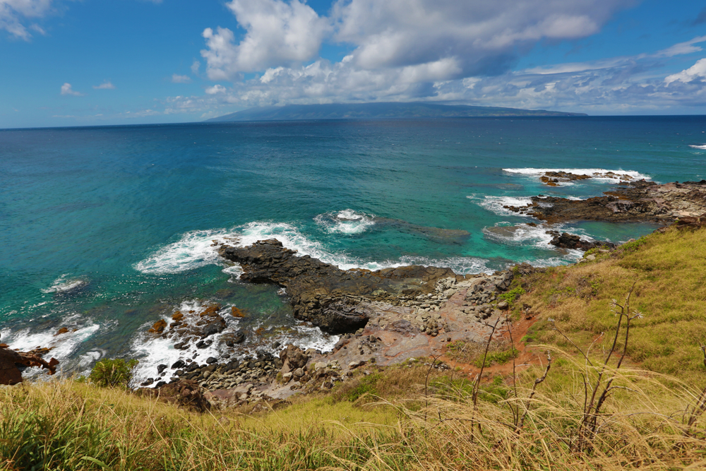
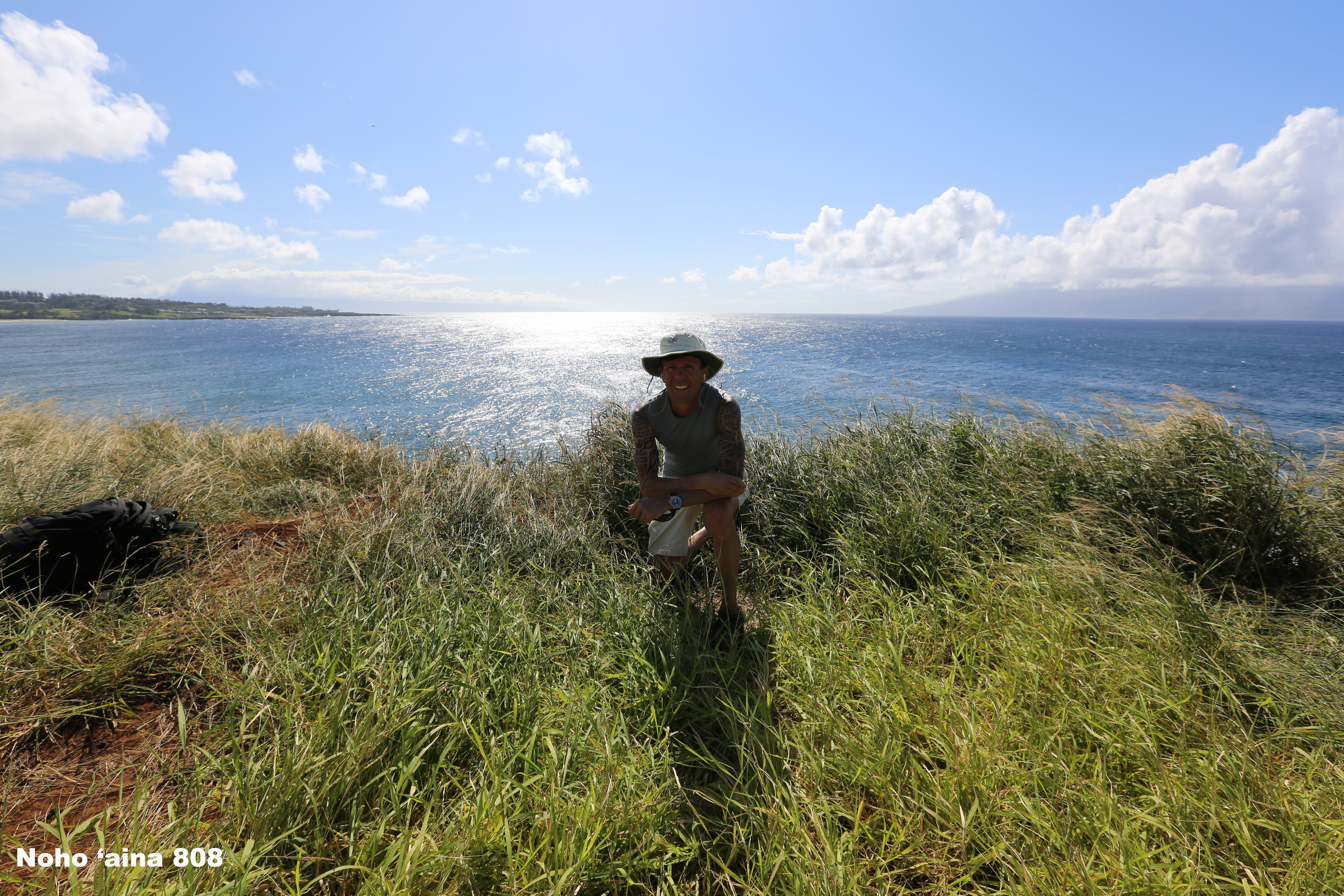
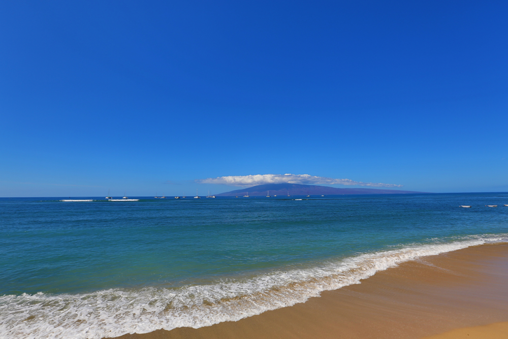
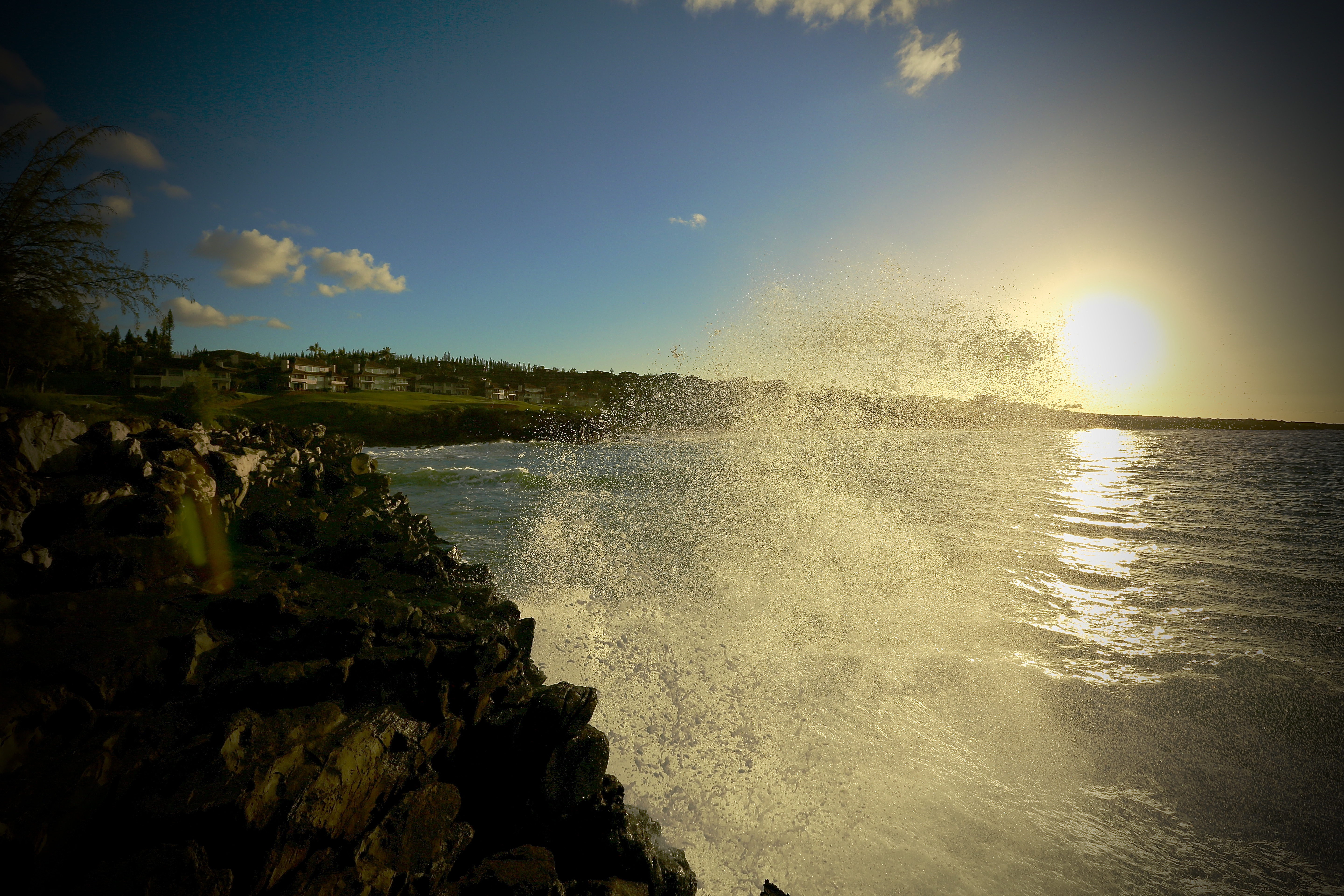
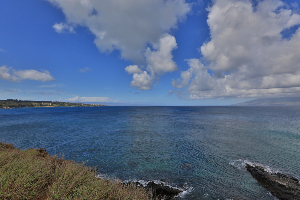
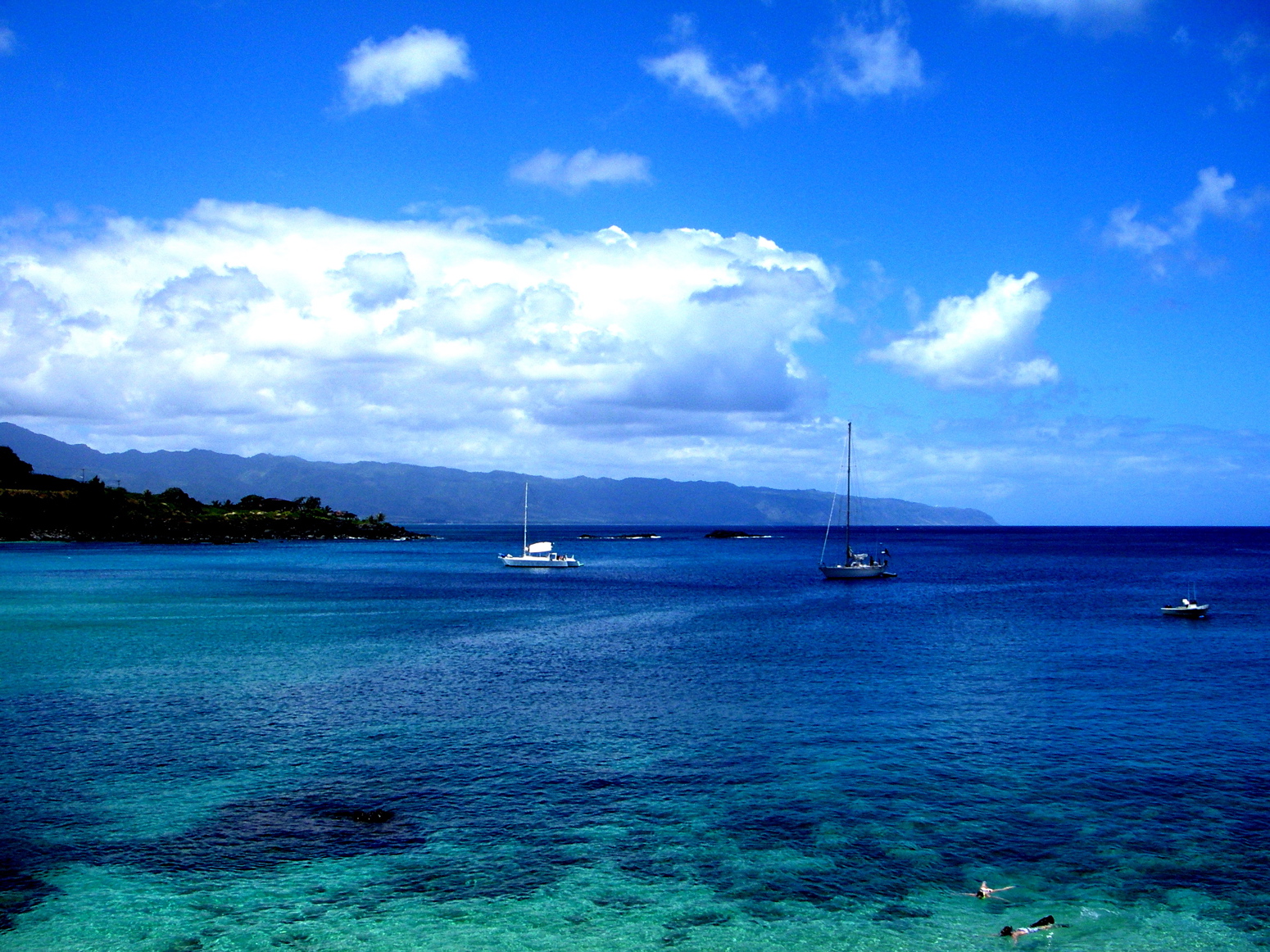
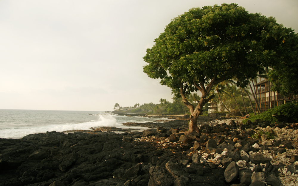
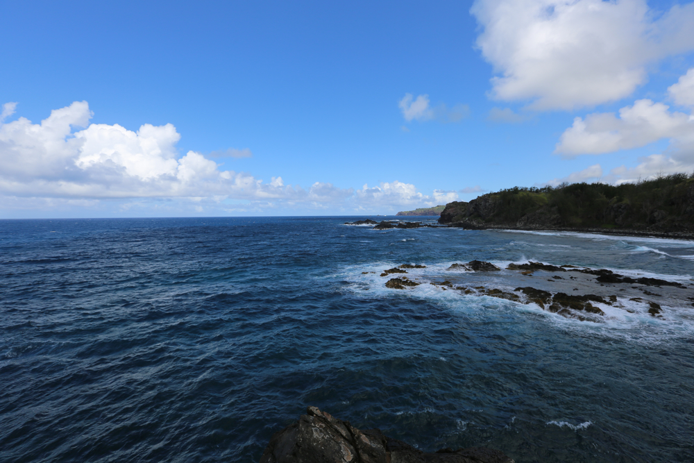
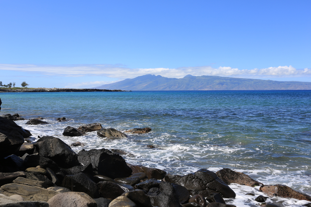
 There are a few reasons why the Pacific ocean is so blue. When light strikes water, the water filters the light so that red is absorbed and some blue is reflected. Blue also travels further through water than light with longer wavelengths (red, yellow, green) though very little light reaches deeper than 200 meters (656 feet), and no light at all penetrates beyond 2,000 meters (3,280 feet). Another reason the ocean appears blue is because it reflects the color of the sky. And overall, due to Hawaii’s low air-level pollution, the sky is bluer in appearance. Someone asked me why my photos depict a “deep blue ocean” … and add, “is that shopped?” ANSWER: it’s the Pacific as seen from Hawaii — and no, it’s not shopped. Aloha.

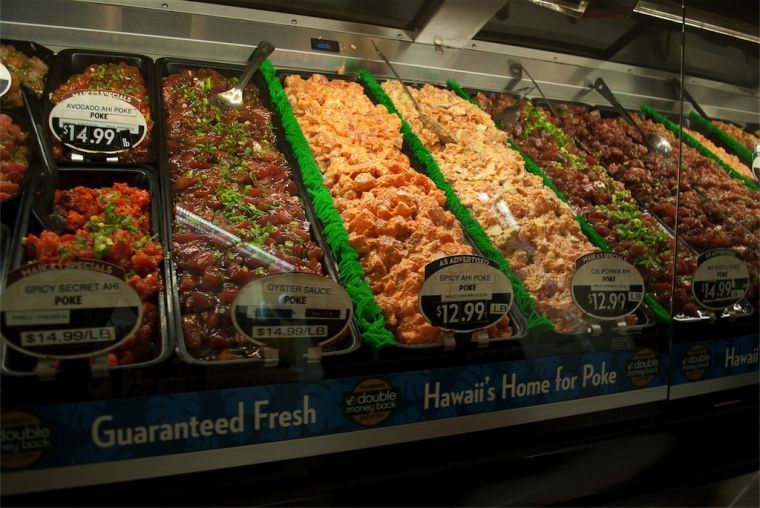 Poke is a raw salad served as an appetizer in Hawaiian cuisine. Pokē is the Hawaiian verb for “section” or “to slice or cut”. The traditional Hawaiian poke consists of meat that has been gutted, skinned, and deboned. It is sliced across the backbone as fillet, then served with traditional condiments such as sea salt, seaweed, and limu. Some Hawaiians would suck the flesh off the bones and spit out the uneaten skin and bones. During the 19th century, recently introduced foreign vegetables such as tomatoes and onions were included, and now Maui onions are a very common ingredient. When on Maui – visit Foodland – they have the best selection prefaced only by a formal taste test. Aloha.

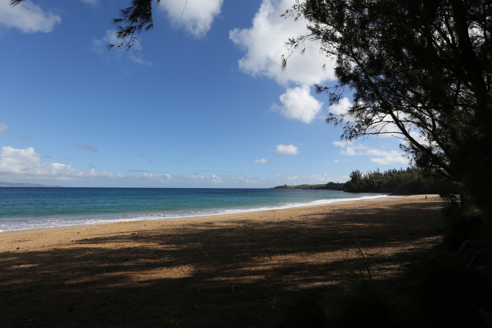
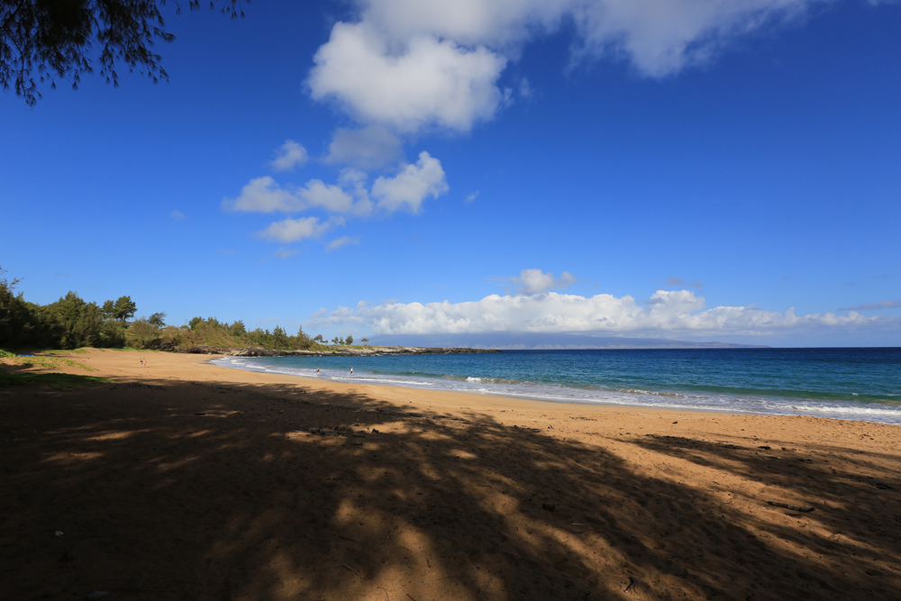
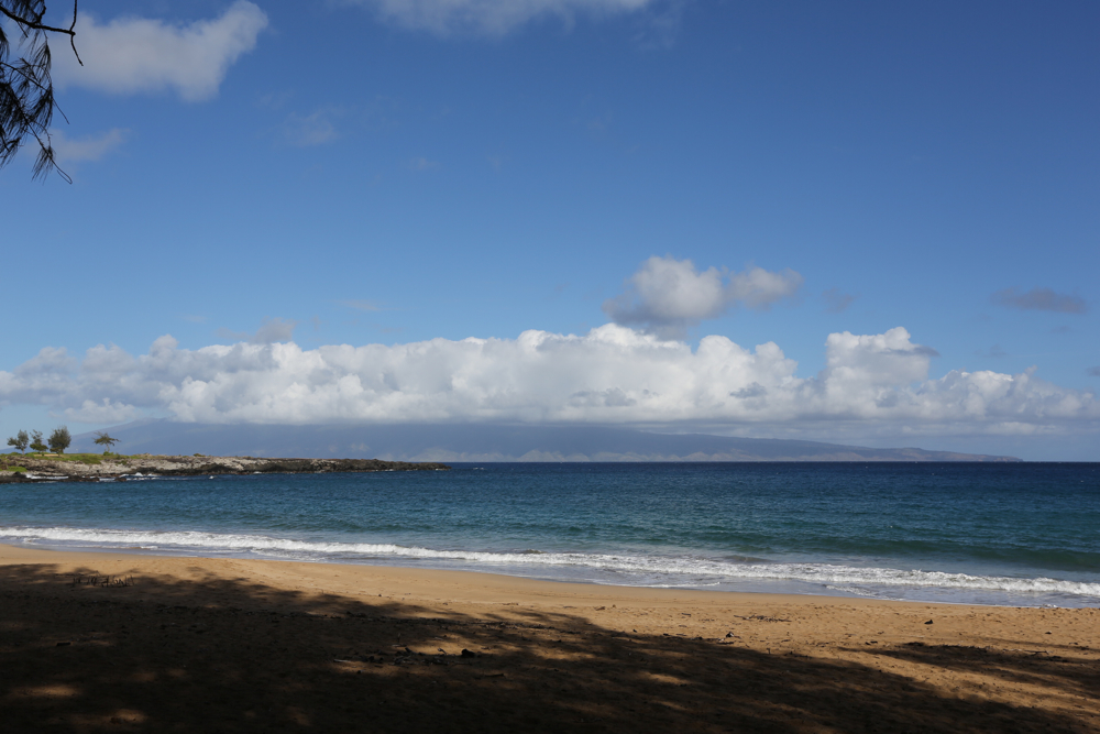
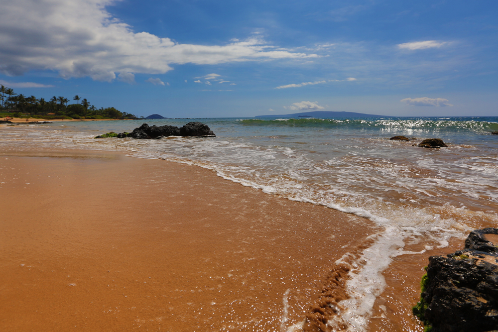
 Early morning beach time is really special on Maui. Most tourists avoid early bird beach adventure. And the ones that show up are quietly enjoying a morning walk, run or combing. Seeking a ‘no foot prints in the sand’ photo can be challenging on all Hawaiian islands — so arrive early. It’s the calm before crowds get crazy loud at the beach.
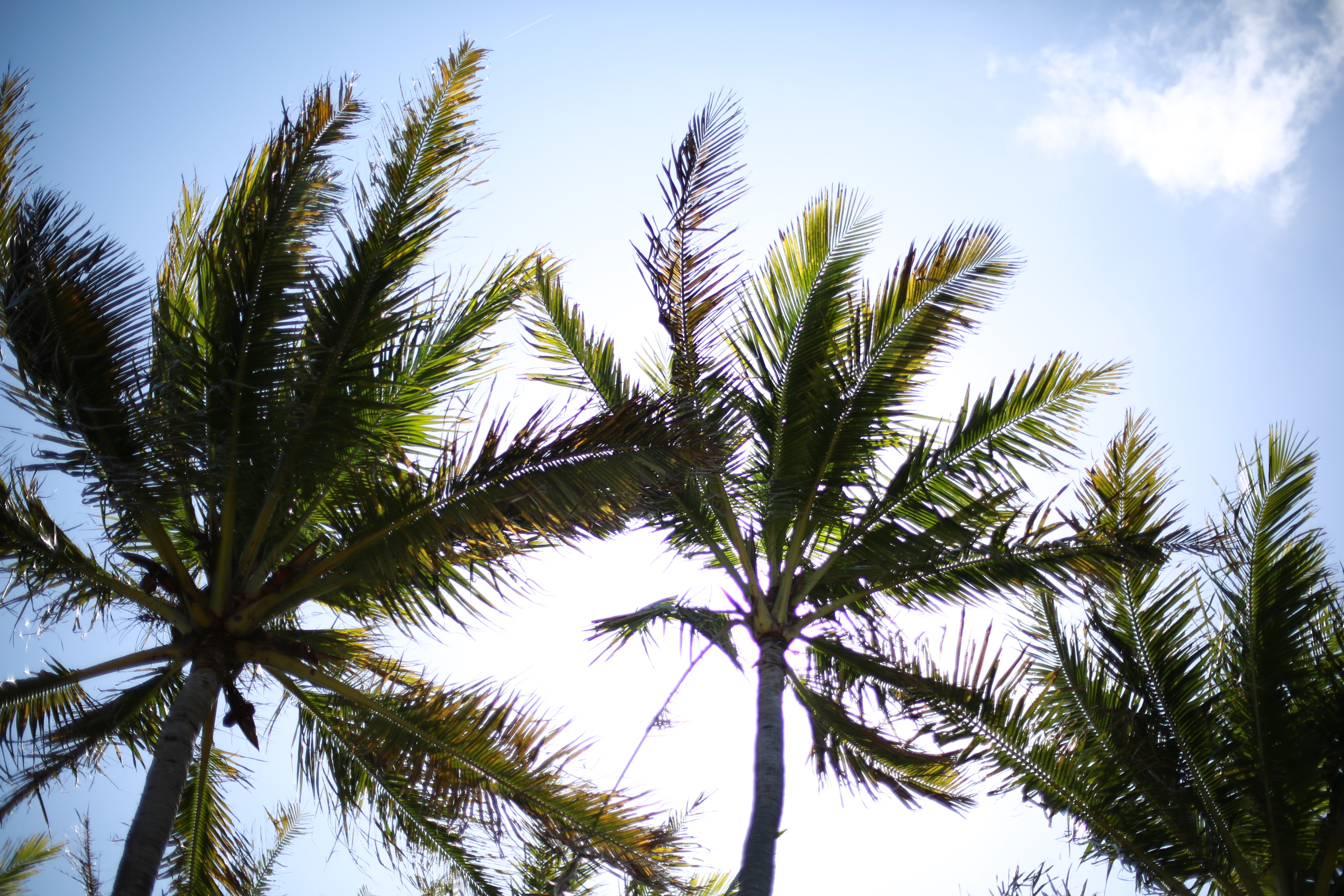 Found throughout the tropic and subtropic area, the coconut is known for its great versatility as seen in the many domestic, commercial, and industrial uses of its different parts. Coconuts are part of the daily diets of many people. Coconuts are different from any other fruits because they contain a large quantity of “water” and when immature they are known as tender-nuts or jelly-nuts and may be harvested for drinking. When mature, they still contain some water and can be used as seednuts or processed to give oil from the kernel, charcoal from the hard shell and coir from the fibrous husk. The endosperm is initially in its nuclear phase suspended within the coconut water. As development continues, cellular layers of endosperm deposit along the walls of the coconut, becoming the edible coconut “flesh”.
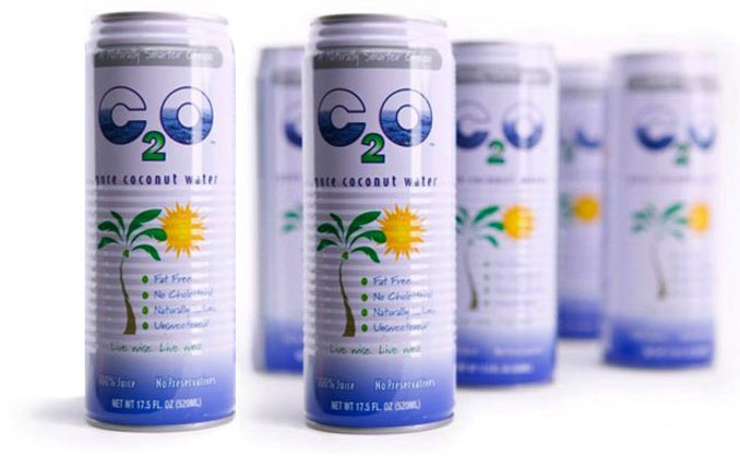 When dried, the coconut flesh is called copra. The oil and milk derived from it are commonly used in cooking and frying; coconut oil is also widely used in soaps and cosmetics. The clear liquid coconut water within is a refreshing drink. My personal favorite is C2O. Aloha.


 Just off Front Street, Lahaina comes to life. Not the kind of life found on the street … I’m talking about spots that are void of the congestion and foot traffic. I found the other side of Lahaina seeking refuge from the grunge, overdone retail, stench, street hecklers, etc. etc. Not that some of those things can’t be interesting. To me, Lahaina needs some pressure washing and Frebreze. Hidden Lahaina is closer to the water behind the buildings lining Front Street. Luckily I cam equipped with a camera.
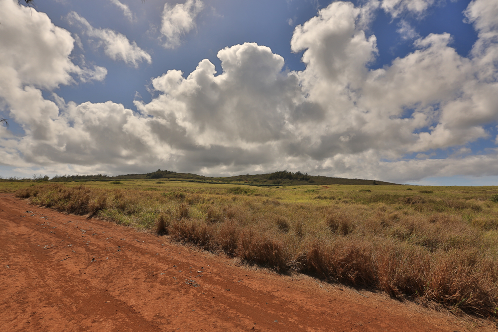
 Return from Maui and you’re sure to remember red dirt. It’s ever present. Add a little water and voila, you have red mud. Either way, you’ll be reminded long after you leave. For some reason, washing with soap and water ‘sorta’ works. Scrub a dub on the hands and feet and you’ll remove most of it, but not all of it. Rub a little red dirt on your clothing and you’ll be presented with a new challenge.
Ok – enough about the difficulties of red dirt removal.
When hiking back country of Hawai’i, I look forward to long hikes along red dirt roads. I love the smell, the color and contrast it creates with anything nearby.
Red dirt speaks aloha.
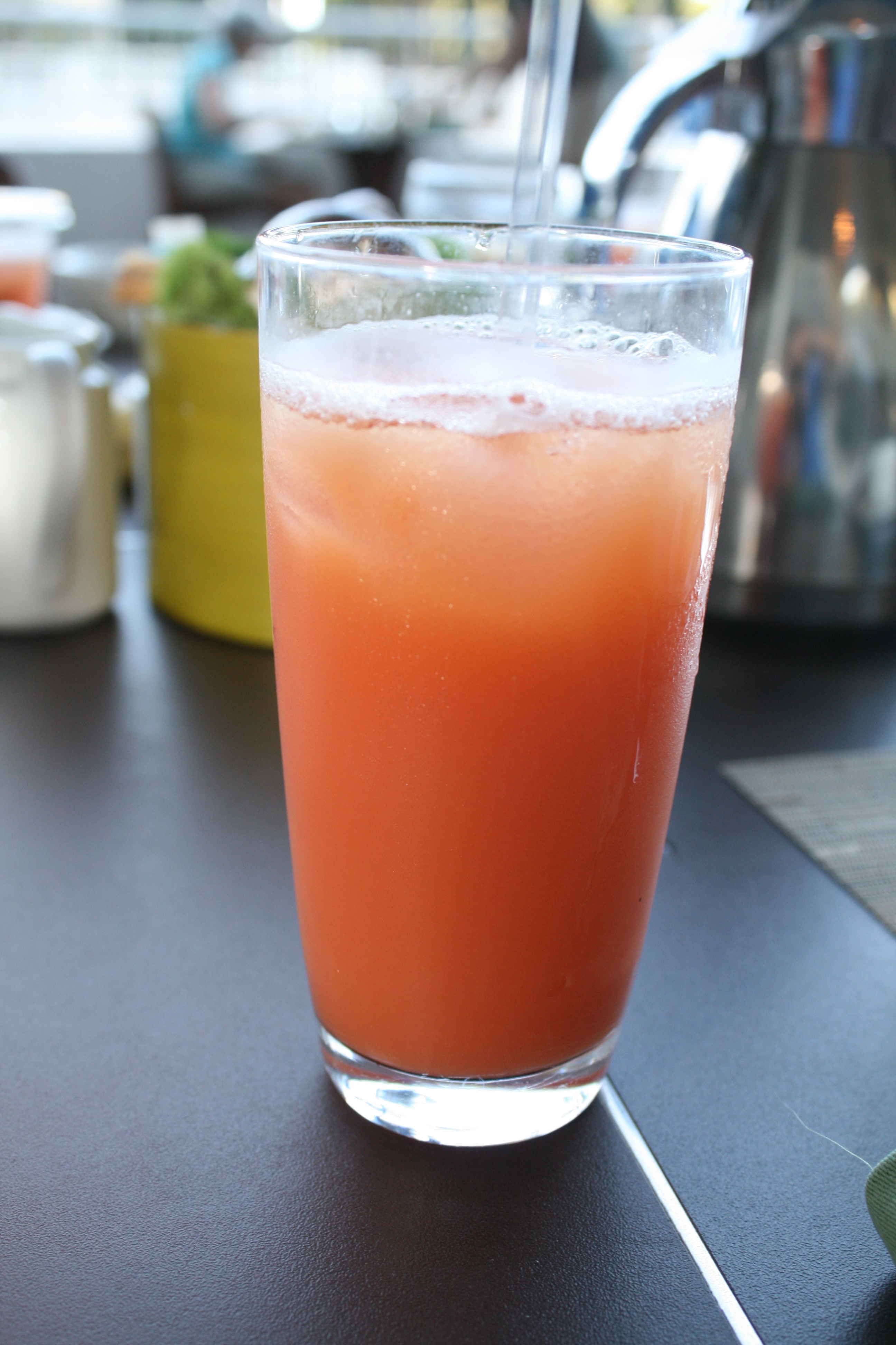
POG is a tropical style juice drink created in 1971 by a food product consultant named Mary Soon who worked for Haleakala Dairy on Maui, Hawaii that consists of a blend of juices from passion fruit, orange, and guava fruits (hence the P.O.G.). POG is currently produced by Meadow Gold Dairy, a subsidiary of Dean Foods. Several companies produce a version of POG https://www.hawaiiansunproducts.com/, as do resorts, travelers and anyone making fruity drinks at the end of the day.
Options to make it an all-natural Hawaiian POG drink
BEST POG – Obtain fresh ingredients
 Puʻu ʻŌʻō (pronounced “poo-oo oh-oh”) is a cinder/spatter cone in the eastern rift zone of the Kīlauea volcano of the Hawaiian Islands. The photo herein was taken about 25′ very mouth of Pele. Look close enough and you can see Pele’s mouth, nose and eyes. I was lucky to have gotten up close to this spectacle — as it’s illegal to hike near the volcano. “Oh-oh!”
Puʻu ʻŌʻō has been erupting continuously since January 3, 1983, making it the longest-lived rift-zone eruption of the last two centuries. Although the name is often translated as “Hill of the ʻŌʻō Bird” from Hawaiian, there is a different explanation of the Hawaiian appellation. The word ʻŌʻō also means digging stick. Because in Hawaiian legends the volcano goddess Pele uses her magic rod pāoa to create volcanic pits, this seems to be the intention for the naming. The cone was originally informally called “Puʻu O” by volcanologists, who simply assigned letters to vents as they arose during the first part of the eruption.
If you want to get up close – make sure to get a guide who has “been there – done that.” You can only hike in through the dark of night – which makes it even more dangerous. Whew.


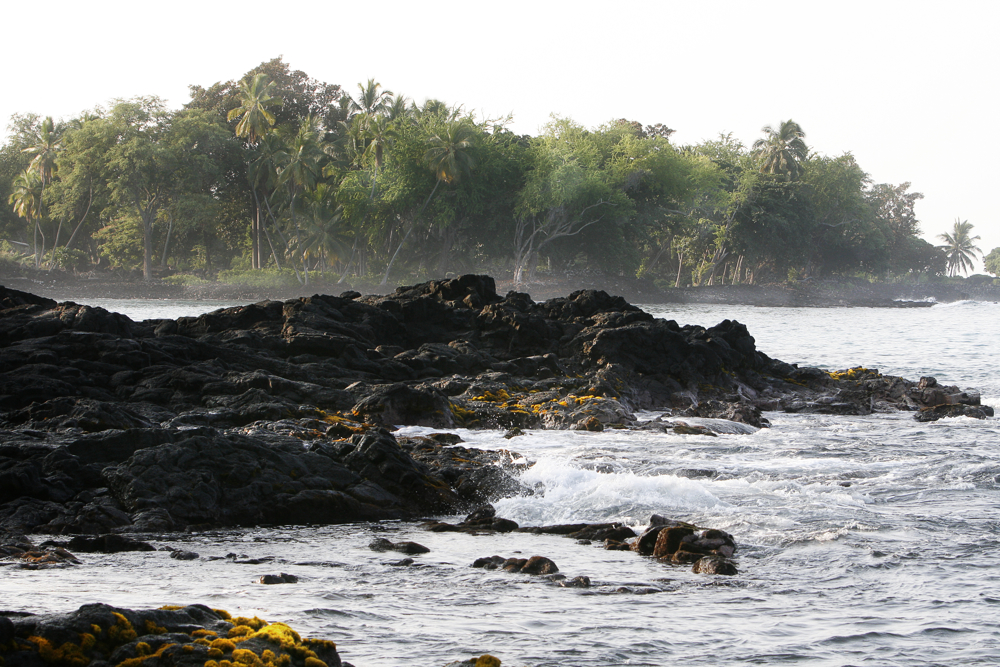
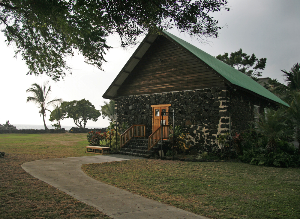
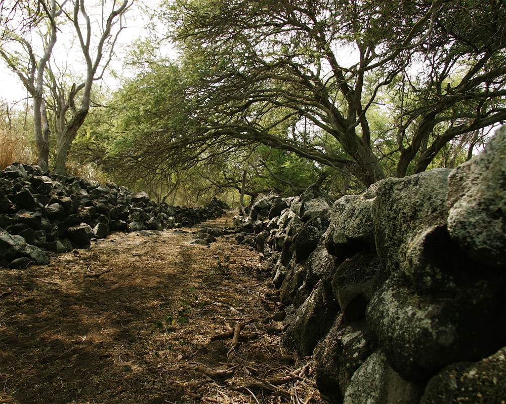
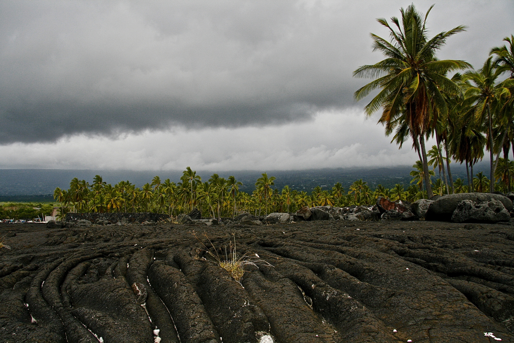 One of the most accessible, interesting, and enchanting cultural sites in the State of Hawaii is the Pu’uhonua o Honaunau National Historical Park. Translated, the “Place of Refuge at Honaunau” is the most complete restoration of an ancient Hawaiian religious sanctuary in Hawaii. On the black lava flats of the southern Kona Coast, Pu’uhonua o Honaunau is a preserved ancient Hawaiian village. This National Park is located adjacent to the excellent snorkeling spot of Honaunau Bay.
Tall royal palms surround the temple complex that sits on a 20-acre finger of lava bordered by the sea on three sides. The only access to the Pu’uhonua (temple of refuge) was by swimming across a bay known as the Sharks Den. If you managed to survive, the kahuna (priest) was required, under pain of death, to offer you sanctuary and absolve you of all wrong doing. Here in the national park you can walk through an ancient Hawaiian village and see firsthand how the kings of Hawaii once lived.
Puuhonua O Honaunau National Historical Park (daily 7.30am-5.30pm; $2; ), four miles on from Kealakekua, is the single most evocative historical site in all the Hawaiian islands, jutting into the Pacific on a small peninsula of jagged black lava. The grounds include a palace, with fishpond and private canoe landing, and three heiaus , guarded by large carved effigies of gods – reproductions, but still eerie in their original setting. An ancient ” place of refuge ” lies firmly protected behind the mortar-less masonry of the sixteenth-century Great Wall. Those who broke ancient Hawaii’s intricate system of kapu (taboo) – perhaps by treading on the shadow of a chief, or fishing in the wrong season – could expect summary execution unless they fled to the sanctuary of a place such as this. As chiefs lived on the surrounding land, transgressors had to swim through the shark-infested seas. If successful, they would be absolved and released overnight.
As you drive 20-minutes north of Kona International Airport, you’ll marvel at the rugged lava fields surrounding you. You may not see it from Queen Kaahumanu Highway, but the Kohala Coast, also simply known as “South Kohala,” is where you’ll find some of the island’s finest resorts.
Nestled amongst the jet-black and rust-red lava rock fields, a result of eruptions from Hualalai volcano centuries ago, are green oases full of world-class accommodations, fine dining and some of Hawaii’s best golf courses. Less than nine inches of rainfall annually falls on the eight outstanding resorts here, so soak in the sun and relax at Hapuna Beach State Park, one of Hawaii Island’s largest white sand beaches, indulge in a taste of Hawaii Regional Cuisine or recharge at some of the island’s best spas. You’ll discover cultural treasures on the Kohala Coast too, from Anaehoomalu Petroglyphs field in the Waikoloa Resort to those of the Puako Petroglyph Archaeological Preserve as well as the remarkable Puukohola Heiau National Historic Site, the largest restored heiau in Hawaii. Spencer Beach Park, just below Puukohola Heiau, is another family-friendly beach popular with locals.
Located on the Kapoho Coast of the Big Island of Hawaii, the Kapoho Tide Pools are an unusually large grouping of tide pools and spring fed pools that stretch out for roughly one mile along the shoreline and extend as much as 600 feet out into the Pacific Ocean. The pools formed naturally and, surprisingly, many of them are actually heated volcanically. Soaking in their warm, brackish water is said to be very soothing.
For this reason, some of the smaller tide pools have been incorporated by local residents into swimming pools and hot tubs on their private property. The rarely crowded pools located in public areas are also available for bathing and afford a very calm and relaxing experience to those willing to seek them out.
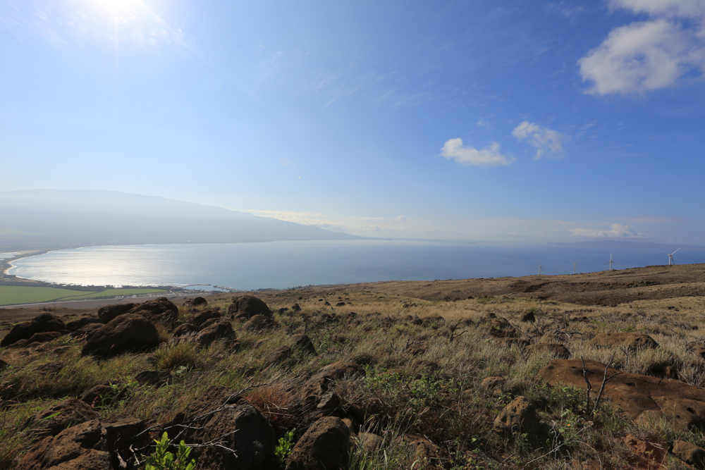
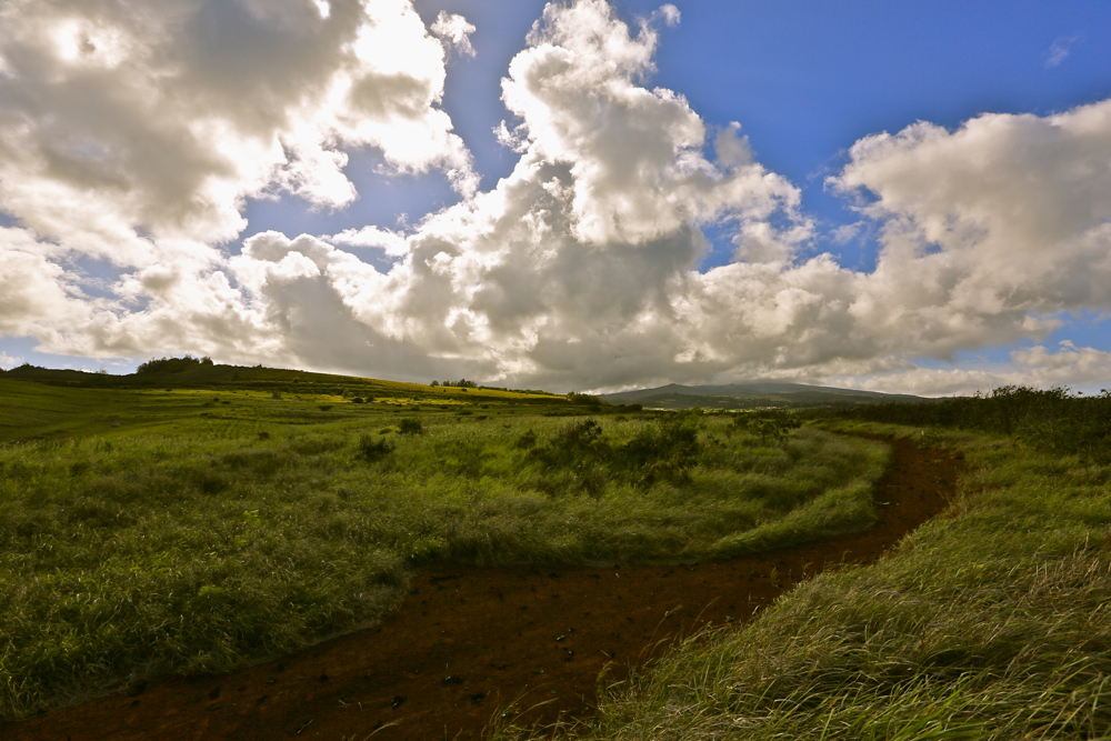
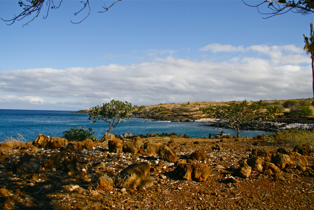
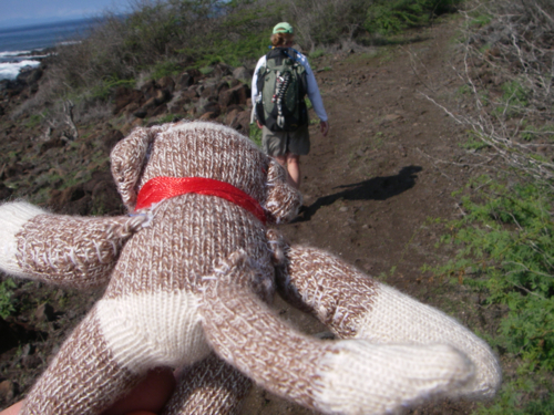
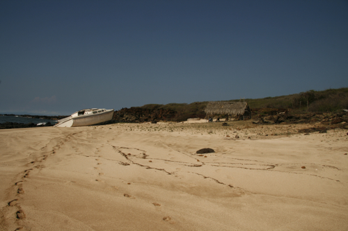
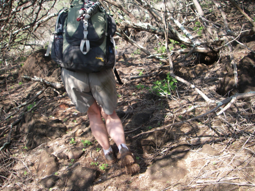
The day began with a serious hike. Not a typical out and back day hike. No, I’m talking about a full-on hike to La’au Point – in the mud, through the woods and we didn’t stop at grandmother’s house for cookies and a nap. The trip to La’au Point is tough — add in soggy creek beds full of mud from Sunday’s 4″ of rain and you’ve got an adventure.
Sure enough, it was red and redder. Funny how that theme keeps popping up?!
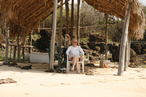
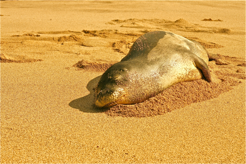
The three mile trek required about an hour and a half. Ames was all smiles and certainly a trooper – cracking jokes and laughing as we plowed through the muddy trail. Upon arrival at La’au Point, we found a monk seal napping in the middle of the beach. After locating some chairs, we nestled into ‘relaxation mode.’ Ah-aloha.
We sat and watched the surf while we ate our lunch – and I shot some video and snapped some images. Both of us agreed that the rest period passed too quickly. With a return trip of three miles, we knew we needed to gather our gear, the backpacks and head back toward the car.
The return trip seemed quicker. I suspect it was because we knew what to expect. Thankfully the trail had dried a bit – so our trek home was a bit easier too. All in all it was a nice setup for a beach wedding. Enjoy the images.

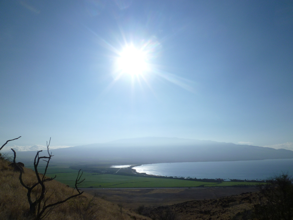
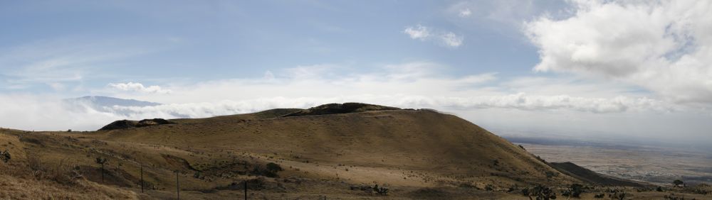 Mauna Loa is one of five volcanoes that form the Island of Hawaii in the U.S. state of Hawaiʻi in the Pacific Ocean. Mauna Loa is the largest subaerial volcano in both mass and volume, and has historically been thought of as the largest volcano on Earth; however, the recently discovered submerged supervolcano Tamu Massif is many times larger. It is an active shield volcano, with a volume estimated at approximately 18,000 cubic miles (75,000 km3),although its peak is about 120 feet (37 m) lower than that of its neighbor, Mauna Kea. The Hawaiian name “Mauna Loa” means “Long Mountain”. Lava eruptions from Mauna Loa are silica-poor, and very fluid; eruptions tend to be non-explosive and the volcano has relatively shallow slopes.
Mauna Loa has probably been erupting for at least 700,000 years, and may have emerged above sea level about 400,000 years ago. The oldest-known dated rocks are not older than 200,000 years.The volcano’s magma comes from the Hawaii hotspot, which has been responsible for the creation of the Hawaiian island chain over tens of millions of years. The slow drift of the Pacific Plate will eventually carry Mauna Loa away from the hotspot within 500,000 to one million years from now, at which point it will become extinct.
Mauna Loa’s most recent eruption occurred from March 24 to April 15, 1984. No recent eruptions of the volcano have caused fatalities, but eruptions in 1926 and 1950 destroyed villages, and the city of Hilo is partly built on lava flows from the late 19th century. Based on the hazards it poses to population centers, Mauna Loa is part of the Decade Volcanoes program, which encourages studies of the world’s most dangerous volcanoes. Mauna Loa has been monitored intensively by the Hawaiian Volcano Observatory since 1912. Observations of the atmosphere are undertaken at the Mauna Loa Observatory, and of the Sun at the Mauna Loa Solar Observatory, both located near the mountain’s summit. Hawaii Volcanoes National Park covers the summit and the southeastern flank of the volcano, and also incorporates Kīlauea, a separate volcano.
 The sleepy little town of Haleiwa is nestled comfortably along Oahu’s North Shore. And it feels like you’re in the country — as it’s a complete 180 from the crowds of Waikiki. Over 100 years ago – before Waikiki built its first hotel, visionary businessman Benjamin J. Dillingham opened Hawaii’s finest lodging on a small strip of land between the Pacific Ocean and the Anahulu River. He named the grand Victorian hotel Haleiwa which means the House of the Iwa – the frigate bird that, according to Dillingham, evoked the style he intended for the Haleiwa hotel. Back in the day, Haleiwa was set in the middle of nowheresville – literally. It was a day when no one worried about keeping the country country. Dillingham’s plan was to lay down a railroad through which he could serve his sugar plantations between Honolulu and Waialua. Add in a grand hotel at the end of the line and BOOOM – we’re talking bank!
For many years, it was a leisure spot “out of town” that evolved into a community which adopted the name Haleiwa. The hotel is long gone – sadly – but it’s still a hopping place! A surfer’s delight I might add. Designated a Historic, Cultural and Scenic District in 1984, Haleiwa has maintained its simple charm and laid-back environment. This is definitely a boardshort and slippah kind of place.
 In winter, Waimea and other North Shore locations such as Pipeline and Sunset Beach host a number of surfing contests because of the large waves found here. These waves are created by winter storms in the North Pacific, and their arrival on O‘ahu’s North Shore are typically forecast accurately several days in advance. In summer, Waimea typically has clear and calm water. Waves can be found virtually any time of year – mind the red / orange flags when staked out. Seriously.
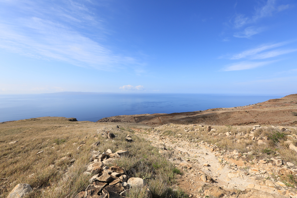
 This photo was taken early in the day at Ka Lae, also known as South Point, is the southernmost point of the Big Island of Hawaii and of the 50 United States. The Ka Lae area is registered as a National Historic Landmark District under the name South Point Complex. Click to enlarge.

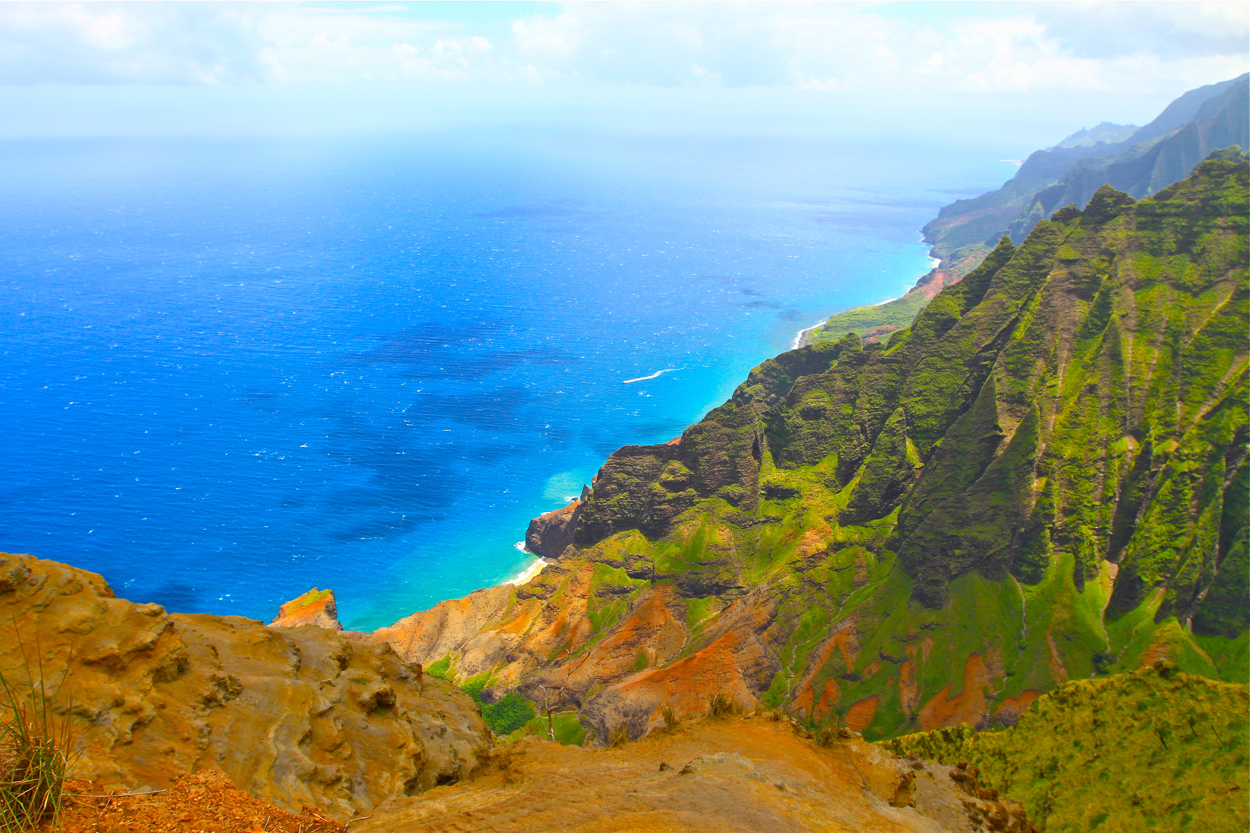
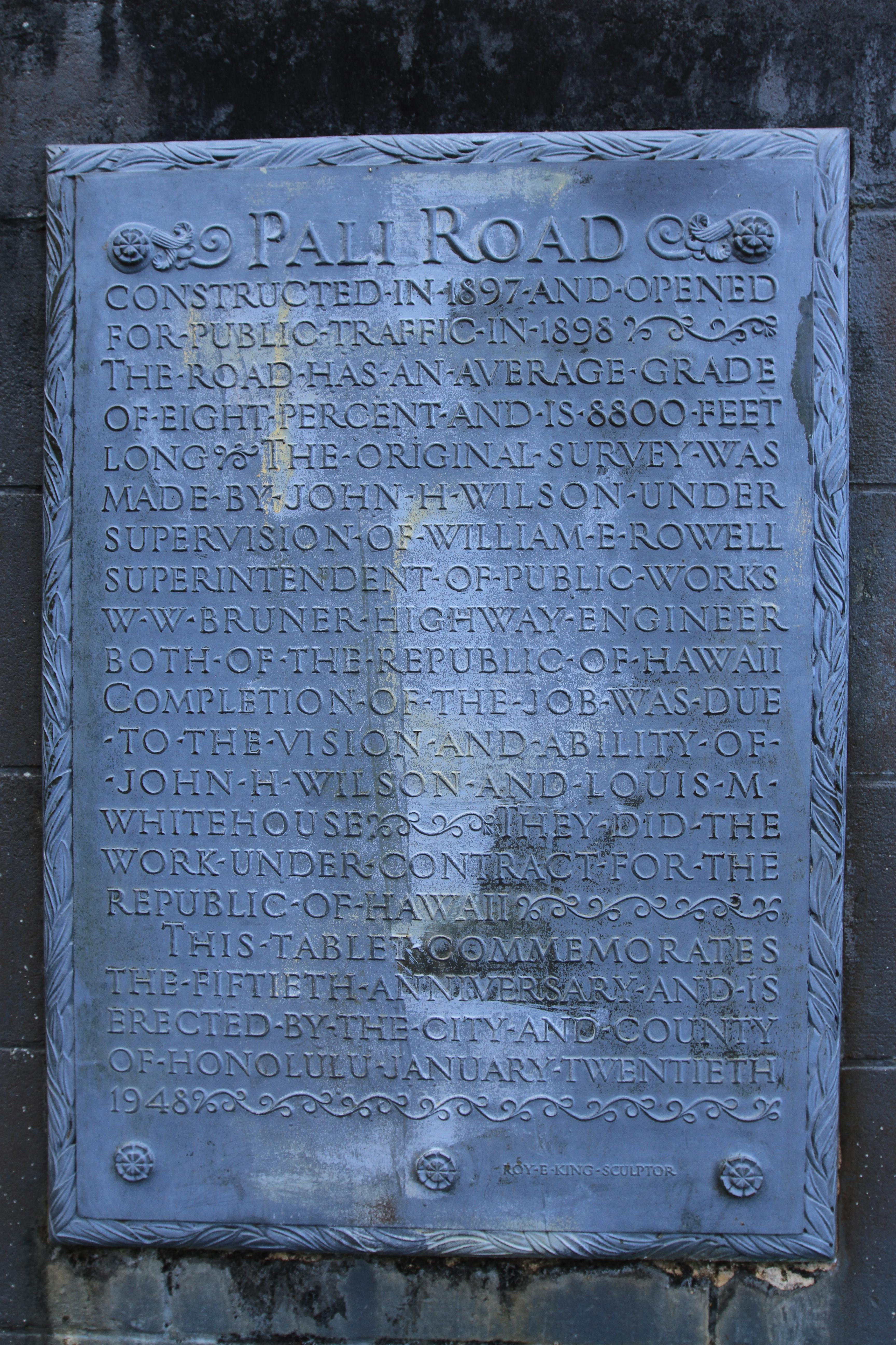 On Oahu’s Windward coast, the Nuʻuanu Pali lookout watches over the cliffs of the Ko’olau mountains. The Koʻolau Range is a name given to the fragmented remnant of the eastern or windward shield volcano of the Hawaiian island of Oʻahu. It was designated a National Natural Landmark in 1972, and is truly one of the best viewpoints on Oahu to gaze out across the landscape. The Pali Pass provides panoramic vistas looking out toward Chinaman’s Hat and Kāneʻohe Bay. To clarify, Kāneʻohe Bay is the largest sheltered body of water in the main Hawaiian Islands. This reef-dominated embayment constitutes a significant scenic and recreational feature along the windward (northeast) coast of the Island of Oʻahu. The largest population center on Kāneʻohe Bay is the town of Kāneʻohe.
The Pali Pass claimed its spot in Hawaiian hsitory in 1795 when it become the site of a massacre where King Kamehameha defeated the island’s warriors by forcing them off the treacherous cliff top to their deaths. Suggestion: you’ll need a tripod or be able to grip the railing because it can get extremely windy — and consider another layer of clothing because it can be chilly. Aloha.
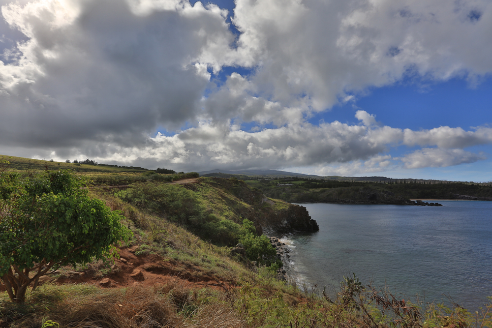
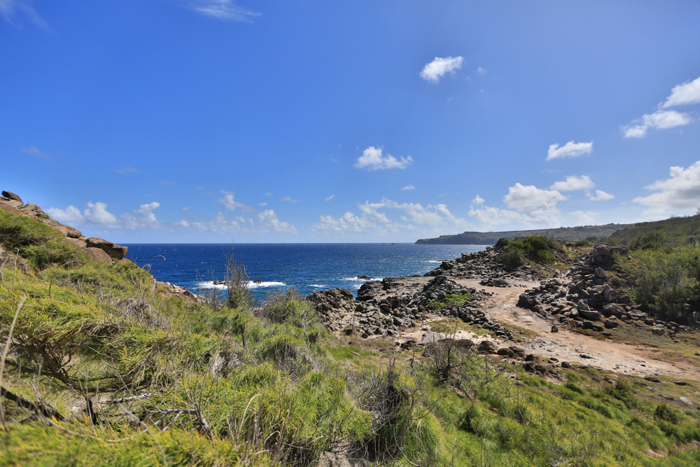
Hawaii can be experienced without crowds of people, and for most of us who find our way back again and again it’s what we thrive to do … avoid crowds. Discovering a new beach or a spot where throngs of people haven’t landed is one of the best things about the experience. In my early visits to Hawaii, my photographs were sprinkled with people. As I moved off the beaten path and found new trails, my photos opened up and I learned the meaning of “keeping the country – country.” Lately I’ve been asked, “where are the people?” My responses vary – but the norm is, “what, don’t you see them hiding in the brush?” Look close – find your own path.


 Summer is still sizzling in the middle of the Pacific. Fact is, the temperature stays fairly constant most of the year. Yet another reason to live aloha. The paths leading away from tourists are not hard to find – you just have to look or Google the trails marked “steep or dangerous.” Actually, trails on all islands except O’ahu are typically void of tourists. Most people would rather be at a beach or resort (might be one in the same). When you Surf808, you’ll find the roads less traveled and vantage points from which you can capture people-free images. Aloha!

First – find O’ahu. Then go to the North Shore. Go left at the sign that reads, “Hale’iwa.” 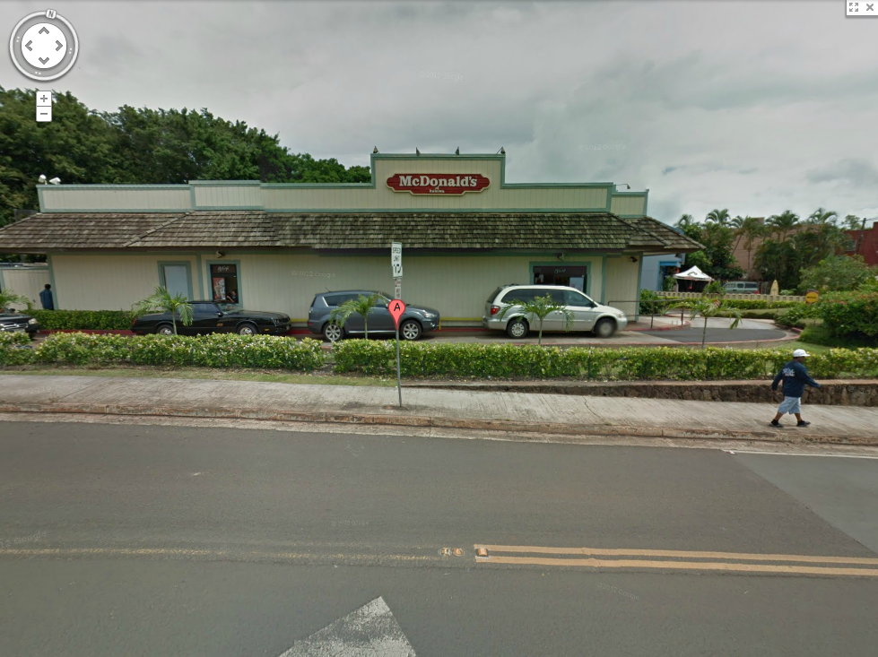 Look for the McDonald’s sign that isn’t a McDonald’s sign. Try the Spam McMuffin – it’s uber-tasty.
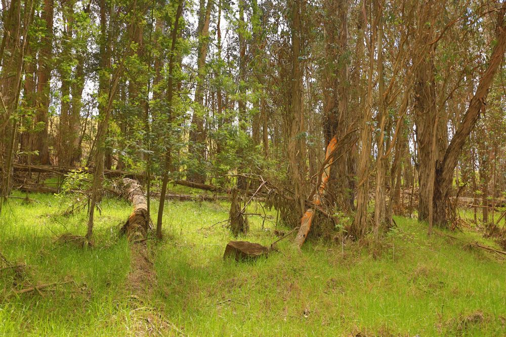
 The nearly 2,774-acre Kamakou Preserve on the slopes Kamakou, the island’s highest mountain, is striking when viewed from Maui. Before you venture, plan ahead because the weather can and will affect your visit to the Preserve. When there, you can see more than 250 rare Hawaiian plants, 219 of which can be found nowhere else in the world, hear the song of the olomao, or what is called the Molokai thrush, and the kawawahie – commonly called the “Molokai creeper.” Both of these birds are near extinction. The best hike is along the three-mile (round-trip) narrow Kamakou boardwalk that takes you through unspoiled rain forest. The Nature Conservancy offers a monthly tour of this unique preserve, which is unlike any other on earth.

 Papakōlea Beach, also known as Green Sand Beach or Mahana Beach, is a green sand beach located near South Point, in the Kaʻū district of the island of Hawaiʻi. One of only four green sand beaches in the World, the others being Talofofo Beach, Guam, Punta Cormorant on Floreana Island in the Galapagos Islands, and Hornindalsvatnet, Norway. It gets its distinctive coloring from the mineral olivine, found in the enclosing cinder cone.
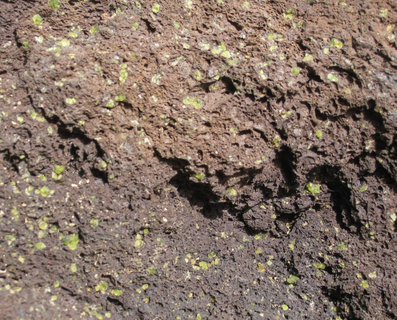 The cinder cone is rich in olivine, a silicate mineral containing iron and magnesium, also known as peridot when of gem quality. Olivine is a common mineral component of Hawaiian lavas and one of the first crystals to form as magma cools. Olivine is locally known as “Hawaiian Diamond” and is notably found in Oʻahu’s famous Diamond Head landmark.
 Found in Koke`e State Park this trail winds through a highland forest with occasional ridge top views. It’s all downhill. Let me reiterate … all down hill means all uphill on the return trip. The day I hiked this trail, I carried a 100oz of water, a Canon 7D, tripod, Sony PCM50, etc. a point and shoot Canon with a few other goodies. At 25lbs, the trip became a real workout.
Take the trail outward (toward the end) to the grassy point overlooking the sheer cliffs of Awa`awapuhi and Nualolo valleys resting 2,000 feet below. The option to connect to the Nualolo trail should be taken only by those prepared for a hike over 9 miles long (one-way). Remember there is no water available nor facilities – be prepared.
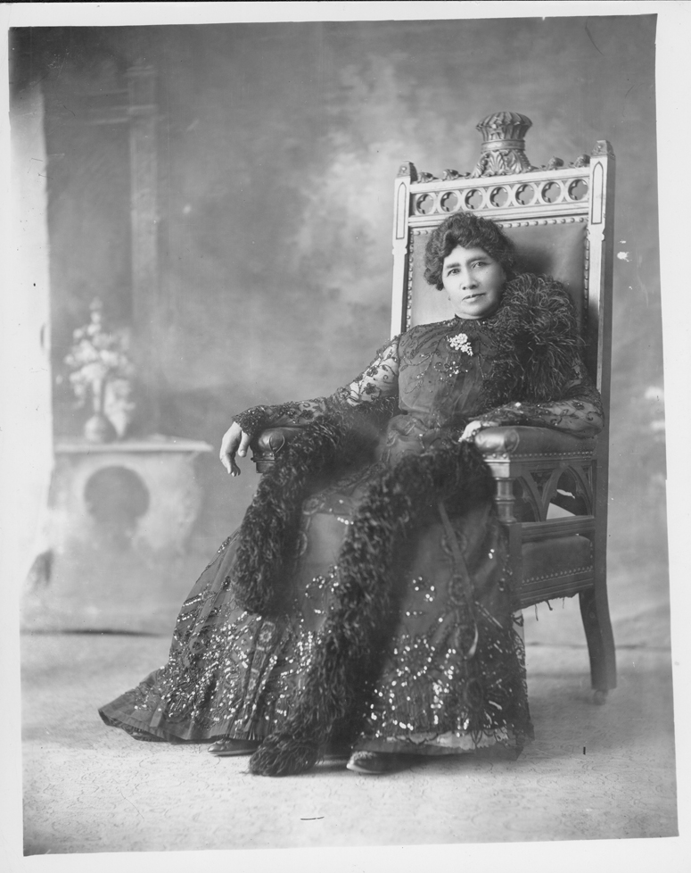 “Before ascending the throne, for fourteen years, or since the date of my proclamation as heir apparent, my official title had been simply Liliuokalani. Thus I was proclaimed both Princess Royal and Queen. Thus it is recorded in the archives of the government to this day. The Provisional Government nor any other had enacted any change in my name. All my official acts, as well as my private letters, were issued over the signature of Liliuokalani. But when my jailers required me to sign “Liliuokalani Dominis,” I did as they commanded. Their motive in this as in other actions was plainly to humiliate me before my people and before the world. I saw in a moment, what they did not, that, even were I not complying under the most severe and exacting duress, by this demand they had overreached themselves. There is not, and never was, within the range of my knowledge, any such a person as Liliuokalani Dominis.”
—Liliuokalani, Queen of the Hawaiian Islands, speaking about her abdication from her autobiography Hawaii’s Story by Hawaii’s Queen